The fastest way
to inspect what's
beneath your streets.
Capture in the field. Validate in the office. Hand over a complete digital twin with PDF, DXF, KML, CSV, photos and interactive 3D.
Built for UK utility & infrastructure delivery teams
Features
Too many tools, too much rework, slow handover.
myPitLab gives one flow for field capture, office QA and client delivery — without spreadsheet chasing.
Workflow
From site visit to handover in 4 clear steps.
Technical validation, standards and QA happen here, not in the hero copy.
Live product story
From real-world asset to a verified digital twin.
Explore the same chain your team uses: LiDAR and photos in the field, coordinate and scale QA in the office, then a complete client handover.
Capture once, even offline.
LiDAR, photos, GPS and structured readings stay attached to one asset from the first site visit.
Drag from field evidence to verified twin
The same asset, angle and pipe geometry — source imagery stays attached to the measured model and final handover.
Exports
One verified record. Every client output.
The MH-247 data shown in the product story flows into the report, CAD, GIS and structured exports below — without rebuilding the record.


Coverage
Four markets live today.
Pick your country when you create the organization. Grid system, inspection standard, defect library, units and currency are set from it — no manual configuration.
Every live market gets the same chain: offline capture, QA, publish, and PDF / DXF / KML / CSV exports written on the local grid.
Prove it on your workflow
Run one inspection. Verify the whole chain.
No generic sales claims. Use a real asset, follow it from field capture through QA, and judge the client handover yourself.
Your first-project proof checklist
A practical pilot for drainage, highways, water, civils and survey teams.
What you should verify
Three operational promises that should survive contact with a real project.
- One publish, full pack — PDF, DXF, KML and CSV come out of a single flow.
- Offline-first capture — capture and edit without a connection, then sync when signal returns. Sign-in, sync and export need connectivity.
- One source of truth — field, office and client always see the same record.
FAQ
Answers teams ask before rollout.
Roadmap
UK, IE, AU and NZ are live. US / EU + mobile is next.
Built UK-first for manhole inspections, now running on four national grids and two inspection standards — expanding market by market.
Practical guides for survey teams
Long-form notes on manhole surveys, STC25, client portals, monitoring, and running a modern UK survey firm — written for operators, not buzzwords.

LiDAR manhole scanning with iPhone and iPad
A practical UK guide to capture, scale checks, GCPs and verified digital twin delivery.
Read guide →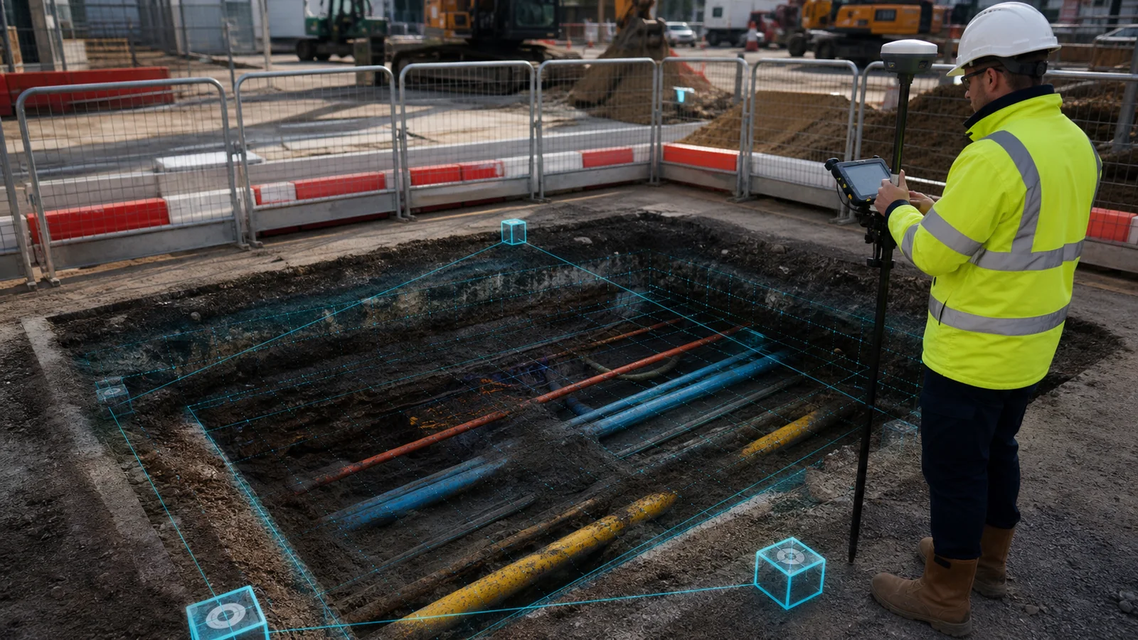
Trial pit survey software — UK guide
Connect exposed services, strata, GCPs, photographs and 3D delivery in one verified record.
Read guide →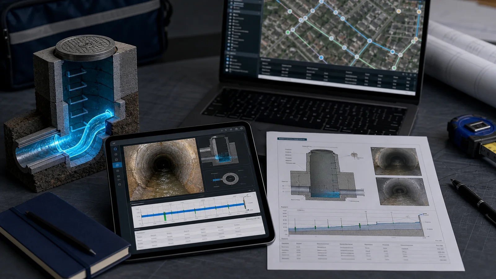
Manhole inspection report template UK
Required fields, pipe tables, cross-sections, photo pages, A4 QA and complete client handover.
Read guide →
Why clients want a portal, not a PDF
Secure portals are becoming the default deliverable for utility and drainage survey work in the UK.
Read article →Prove it on one asset.
Then scale the workflow.
Start free in your browser, or run a guided pilot using one of your own inspection records.
support@mypitlab.com · mypitlab.com