By the myPitLab team · Last updated 28 July 2026 · 8 min read
TL;DR
- LiDAR-equipped iPhones and iPads can capture useful chamber geometry, but they do not replace a total station or certified survey control.
- A reliable digital twin combines LiDAR, structured measurements, photographs, device coordinates and optional ground control points.
- The operator still needs a safe, deliberate capture path and visible overlap between passes.
- Scale and orientation must be verified before the model is used for CAD, GIS or client reporting.
- myPitLab keeps the scan, inspection data, photo pins and QA history attached to the same MH or IC record.
What phone LiDAR is good at
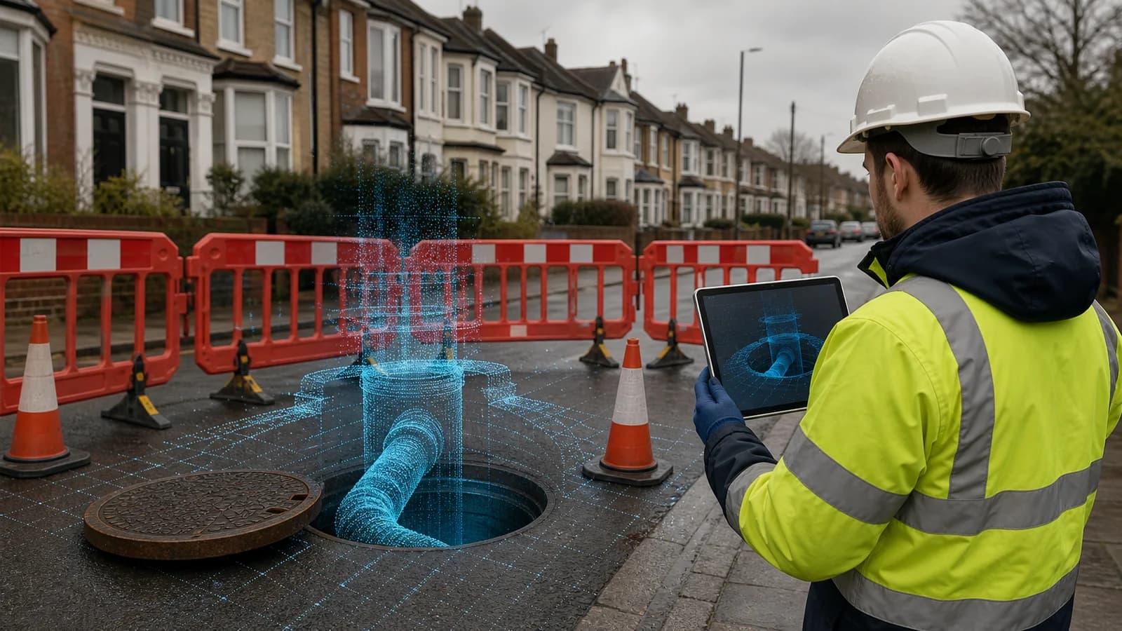
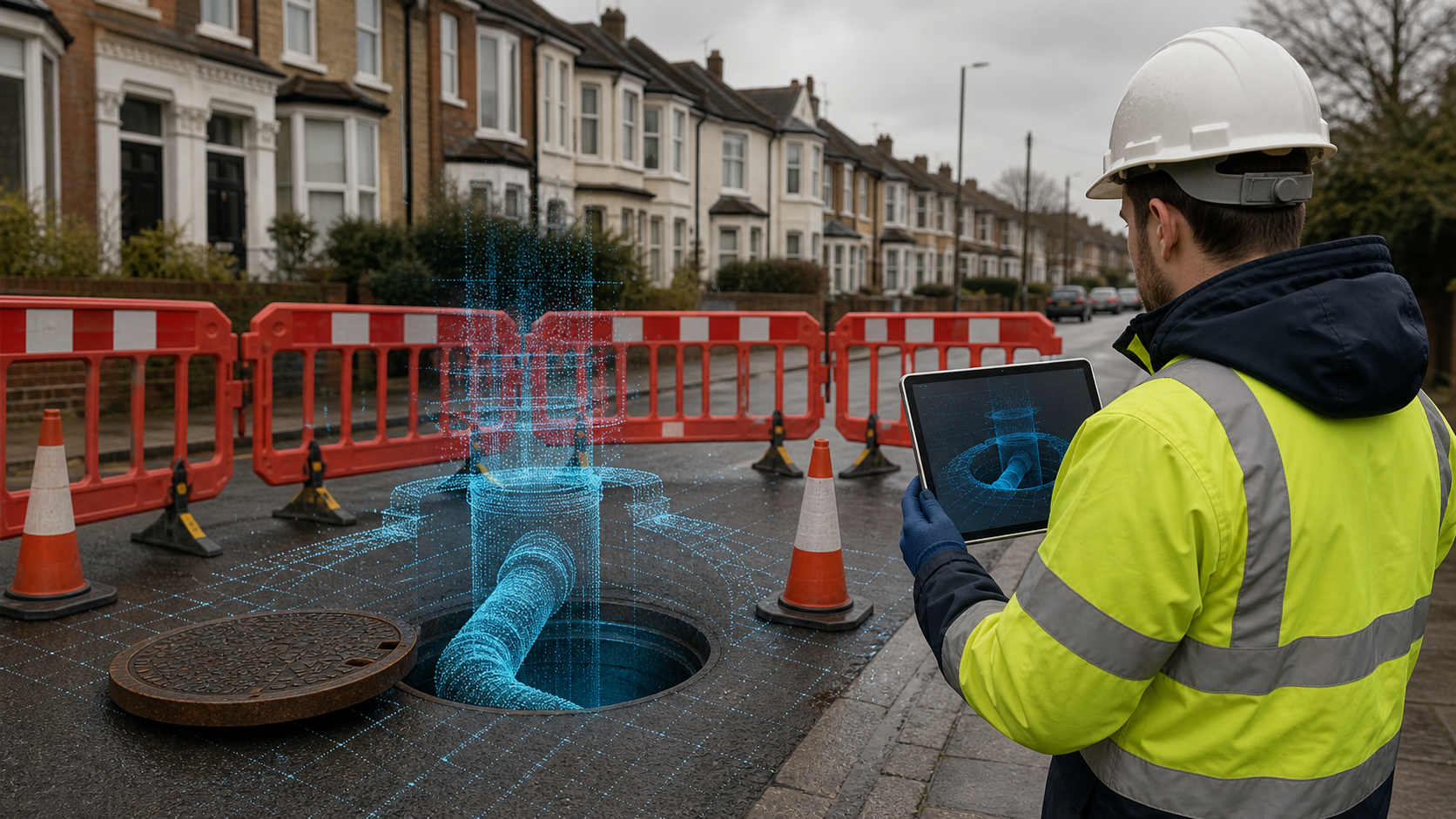
LiDAR on supported Apple devices rapidly estimates the shape of nearby surfaces. For manhole and inspection chamber work, it is useful for:
- Recording chamber shape and approximate dimensions
- Capturing changes in shaft and chamber geometry
- Creating visual context for pipe positions
- Producing a model clients can understand without revisiting site
- Supporting automatic chamber sketches
It is especially valuable when the alternative is a handful of disconnected photographs and measurements written into free text.
Phone LiDAR is not magic. Water, dark surfaces, narrow openings, reflective materials and poor viewing angles can create holes or noise. Treat the scan as one evidence source inside a controlled inspection workflow.
Recommended field workflow
1. Prepare the asset safely
Follow the project RAMS, traffic management and confined-space rules. See our RAMS guide for manhole surveys. Clean loose material from the cover area where safe and make sure the device can see stable edges around the opening.
2. Start with the cover and surroundings
Capture the cover, frame and a small area of surrounding ground. These surfaces provide context and help maintain tracking before the camera points into the chamber.
3. Move slowly with overlap
Use smooth arcs around the opening. Each new view should overlap the previous view. Sudden movement, repeated featureless brickwork and blocked camera views can cause tracking drift.
4. Capture the chamber in layers
Work from the shaft downward:
- Cover and frame
- Shaft or reducing slab
- Chamber walls
- Benching and channel
- Visible pipe openings
- Water and silt condition
Do not lean beyond safe working limits to chase hidden geometry.
5. Take structured photographs
A mesh is not a substitute for evidence photographs. Capture cover, chamber walls, each pipe, defects and general condition. GPS-tagged survey photos should remain linked to the asset and, where possible, pinned to the corresponding model surface.
Scale, coordinates and ground control points
Device coordinates provide a useful starting position, but phone GNSS accuracy varies with buildings, trees and sky visibility. For higher-confidence delivery, combine the model with known control.
myPitLab supports the principle used in photogrammetry platforms: select visible points on the model and assign known X, Y and Z values. Three well-distributed ground control points can improve:
- Model scale
- Rotation and north orientation
- Position relative to project coordinates
- Repeatability between inspections
GCP adjustment should update model alignment, not silently rewrite the original observations. Keep both the raw capture and the verified transform in the audit trail.
| Data source | Primary purpose |
|---|---|
| Device GPS | Initial approximate position |
| LiDAR | Surface geometry |
| Manual tape readings | Independent dimensional check |
| Cover level / RL | Vertical reference |
| GCPs | Verified scale, orientation and coordinates |
How to verify a scan before publishing
Office QA should check:
- Known width or cover dimension against the model
- Chamber depth against recorded measurements
- Pipe count and direction against photographs
- Cover level and pipe depth reference
- Gaps, duplicated surfaces and obvious drift
- Coordinate system and north orientation
If these checks fail, mark the model as indicative rather than survey-grade. The MH/IC QA checklist explains the wider publish gate.
LiDAR model versus structured digital twin
A scan file alone is not a digital twin. A useful operational twin connects geometry to:
- Asset ID and project
- Inspection date and inspector
- Pipe attributes and invert references
- Water and silt readings
- Defects and recommendations
- Photo evidence
- Coordinates and level datum
- Previous and subsequent inspections
That structure enables DXF delivery, KML/KMZ handover, PDF reporting and secure client access.
iPhone or iPad?
An iPhone is easier to handle and may suit rapid inspections. An iPad provides a larger live preview, which can make coverage gaps easier to identify. The best device is the one your team can operate safely and consistently.
Before mobilising, confirm:
- The device model includes a LiDAR sensor
- Storage is available for video and model files
- Battery level supports the shift
- Offline project data is downloaded
- Camera lenses and LiDAR window are clean
Frequently asked questions
Can an iPhone measure manhole depth accurately? LiDAR can estimate depth, but critical dimensions should be cross-checked with a suitable independent measurement and project control.
Does LiDAR work without internet? Capture can work offline. Upload, processing and collaboration can continue after connectivity returns.
Can the model be exported to CAD? Verified geometry and structured inspection data can support 2D and 3D DXF outputs. Always state the accuracy and source.
Can clients open the model without specialist software? Yes. A web-based client portal can present the model, photos and report in one browser view.
Summary
LiDAR-equipped iPhones and iPads can turn manhole inspections into richer, more understandable records. The value comes from combining the scan with measurements, control, photographs and a proper QA gate—not from treating a raw mesh as automatically accurate.
See how myPitLab turns field capture into a verified digital twin →