By the myPitLab team · Last updated 6 August 2026 · 8 min read
TL;DR
- Drainage survey software should cover manholes, inspection chambers and gullies in one workflow, not three spreadsheets.
- Field capture must work offline, then sync for office QA before anything reaches the client.
- Clients judge you on PDF reports, CAD/GIS exports and secure portal access, not how many apps the crew used on site.
- 3D chamber models and auto sketches reduce evening redraw work and improve deliverable consistency.
- Pick a platform that keeps asset IDs stable from photo to DXF to KML.
Key takeaways
- Treat MH, IC and GY as first-class asset types with the right fields for each
- Structured data beats free-text site diaries when clients reject incomplete sheets
- QA before publish is where reputation is protected
- One source of truth should feed PDF, DXF, KML and the client portal
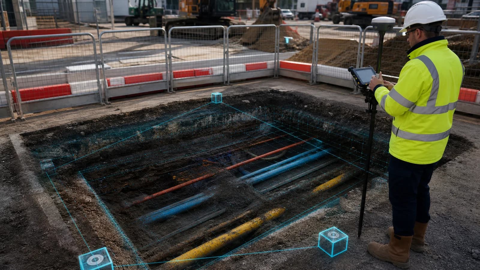
- Drainage work often sits beside PAS128 utility mapping; software should not force those jobs into silos
In this article
- What UK drainage clients actually buy
- Field capture requirements that matter
- Office QA and publish discipline
- Deliverables: reports, CAD, GIS and portal
- How to evaluate drainage survey software in 2026
- Frequently asked questions
Introduction
UK drainage and highways frameworks still lose days to clipboard sheets, WhatsApp photos and CAD redraws. The survey itself may be fine. The bottleneck is turning chamber geometry, pipe schedules, levels and evidence into a package the client will accept first time.
myPitLab is built for that path: structured field capture (including offline manhole inspection), validation, 3D visualisation, exports and client delivery. This guide explains what drainage survey software UK teams should demand in 2026, whether you are bidding water-company packages, developer adoptable drainage or highways cleansing programmes.
What UK drainage clients actually buy
Clients rarely buy “an app”. They buy confidence that:
- Every asset has a stable ID that matches drawings and GIS
- Cover, grate, invert and silt readings use an explicit datum
- Pipe tables are complete and editable without duplicates
- Photos are linked to the asset, not dumped in a camera roll (see geo-photo capture)
- Published PDFs match the live record
For adoptable drainage, gullies matter as much as chambers. Softwares that only model deep manholes leave GY assets in Excel. See the gully survey software guide.
Field capture requirements that matter
Offline first
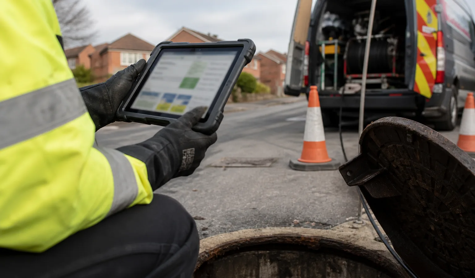
Basements, rural carriers and multi-storey sites still kill signal. If capture dies without mobile data, crews invent workarounds and data quality collapses. Offline capture with later sync is non-negotiable for serious UK drainage work.
Asset-specific forms
| Asset | Typical focus |
|---|---|
| MH | Multi-pipe chamber, benching, cover class, depth |
| IC | Smaller chamber geometry, often shallow |
| GY | Grate, pit depth, single outlet, silt/blockage flags |
One generic “drainage form” produces blank fields and free-text chaos.
Levels and invert discipline
Cover or grate level without a datum is a common rejection. Invert calculation must be transparent: cover, depth to invert, reference. For a deeper walkthrough, see manhole cover and invert levels.
Evidence in context
Cover shot, chamber overview, pipe faces and defects should attach to the asset with captions and optional direction. That evidence should appear in the inspection report, not only in a ZIP.
Office QA and publish discipline
Field speed is worthless if the office republishes incomplete sheets. A practical QA layer checks:
- Missing coordinates or levels
- Pipe schedule gaps
- Photo minimums
- Conflicting cover vs invert values
- Draft vs published status
Human review still owns defect wording and judgement. Software should catch structural gaps so reviewers spend time on content, not hunting blanks.
Deliverables clients expect
A modern drainage package often combines:
- Inspection PDFs with cross-section or cutaway
- Auto-generated IC/MH sketches
- Interactive or static 3D views (see the 3D manhole software guide)
- DXF for CAD teams
- KML/KMZ for GIS handover
- Secure portal access instead of endless email ZIPs
If each export is hand-assembled from different sources, IDs drift and revisions become dangerous.
How to evaluate drainage survey software in 2026
Ask vendors (or your internal build team) for demos of:
- Offline capture and conflict-safe sync
- MH, IC and GY as distinct types
- Validation rules before publish
- One asset record driving PDF, CAD and GIS
- Client portal with revision clarity
- Fit with utility/PAS128 work if you sell both services — see utility survey software UK
Price matters less than rework hours avoided on every framework job.
Frequently asked questions
Is drainage survey software the same as CCTV software? No. CCTV tools excel at sewer condition coding and video. Drainage survey platforms focus on chamber/gully geometry, levels, sketches and asset handover. Many firms need both and should link CCTV to manhole records.
Do we still need STC25-style data? Clients still expect structured MH location and attribute data. Modern platforms extend that with mobile capture, 3D and portals rather than replacing the need for clean attributes. See STC25 and modern MH software.
Can one platform cover highways gullies and deep manholes? Yes, if asset types are first-class. Forcing gullies into manhole templates is where data quality fails.
What about RAMS and H&S paperwork? Survey delivery software should connect to RAMS and method statements, not ignore them. See the RAMS for manhole surveys guide.
Summary
The best drainage survey software UK teams use in 2026 is an operations system: offline field capture, asset-specific forms, QA, 3D and sketches, then PDF/CAD/GIS/portal from one verified record. That is how you cut evening redraws and first-time client rejections.