By the myPitLab team · Last updated 8 July 2026 · 5 min read
TL;DR
- Camera-roll photos are useless for audit six months later — no asset ID, no GPS, no link to the inspection record
- Geo-photos tie each image to coordinates, timestamp, project and asset before sync
- UK framework clients increasingly expect located photos in PAS128 reports and client portals
- Geo-photo capture must work offline — signal returns at the van, not at the chamber
- One photo record per asset beats renaming JPEGs in the office at 6pm
Key takeaways
- Geo-photo is structured evidence, not photography for its own sake
- Mandatory photo types (cover, chamber, direction of flow) should be enforced before publish
- GPS accuracy matters — capture at the asset, not the kerb ten metres away
- Photos flow into PDF sheets, survey reports, KMZ pop-ups and portal asset pages from one record
- QA should reject photos on the wrong asset or without coordinates where the spec requires them
In this article
- What geo-photo capture actually means
- Camera roll vs structured capture
- Photo types UK clients expect
- Offline geo-photos and sync
- Geo-photos in reports and delivery
- Frequently asked questions
Introduction
The dispute email arrives six months after handover: "Photo 47 — which manhole is that?"
If the answer involves scrolling WhatsApp, matching timestamps to a site diary, or guessing from background kerb stones, you have a camera-roll workflow. If the answer is asset MH-204, easting/northing, inspection date and a link in the client portal, you have geo-photo capture.
UK utility, drainage and PAS128 jobs produce hundreds of images per week — trial pits, surface features, chamber interiors, cover plates, defects. Clients do not want a ZIP of IMG_4832.jpg files. They want located, labelled evidence tied to the same record that generates DXF, KML and formal reports.
myPitLab captures geo-photos inside MH/IC and project workflows with GPS metadata and QA before publish. This guide explains what UK teams should standardise in 2026.
What geo-photo capture actually means
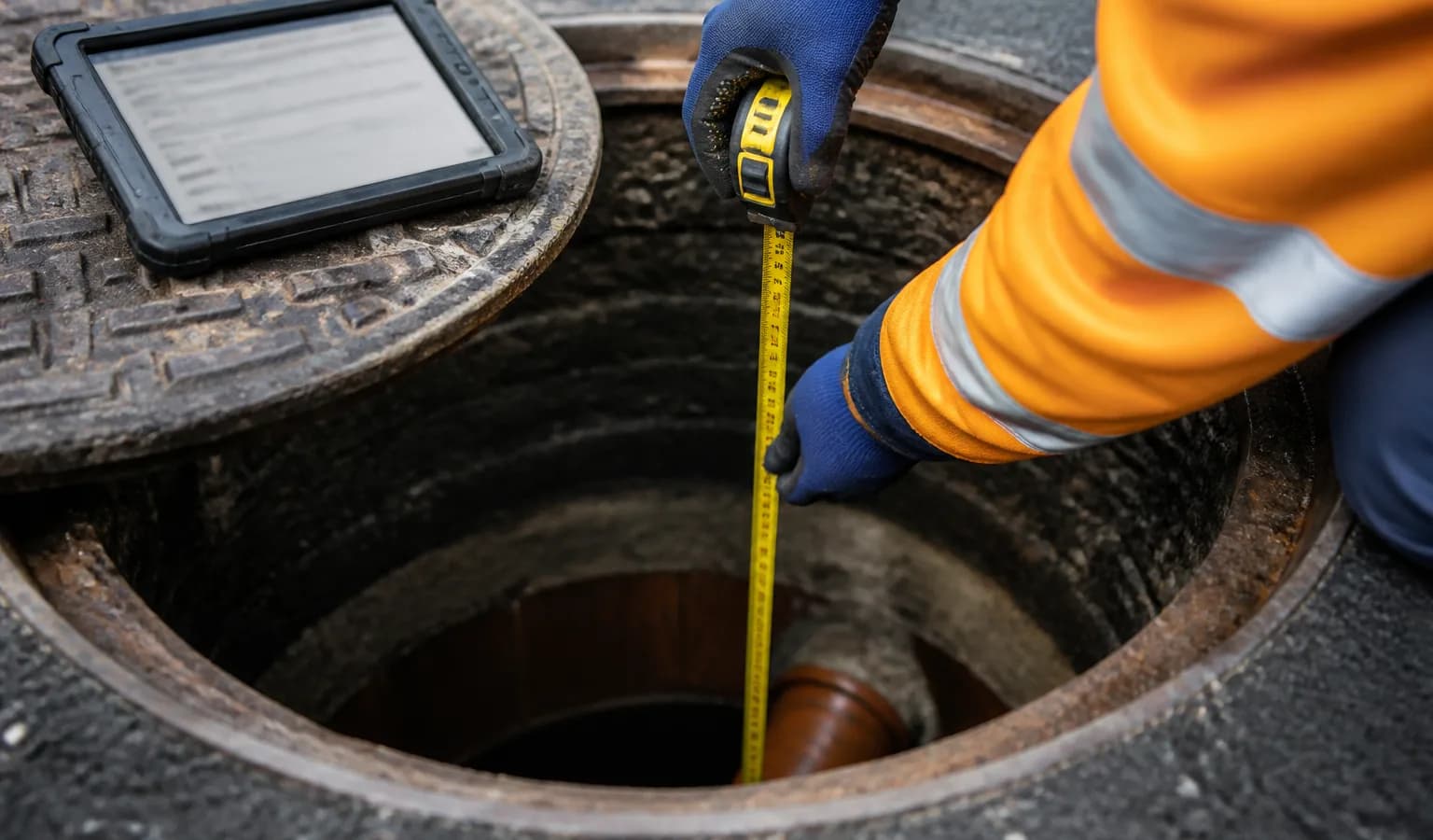
A geo-photo is not just a photograph with GPS in the EXIF header from the phone camera app. In survey software it means:
| Field | Why it matters |
|---|---|
| Asset / project ID | Links photo to MH, trial pit or feature |
| Coordinates | Proves location for audit and GIS |
| Timestamp | Matches inspection date and weather notes |
| Photo type | Cover, chamber, defect, trial pit — queryable |
| Include-in-report flag | Controls what appears in client deliverables |
| Sync status | Office knows field upload completed |
Photos taken outside this structure are anecdotes. Photos inside it are deliverables.
Camera roll vs structured capture
| Camera roll | Geo-photo in survey app |
|---|---|
| Generic filename | Asset-linked record |
| GPS often missing indoors | Captured in-app with metadata |
| Shared via WhatsApp | Syncs to project on upload |
| Manual sort in office | Appears in report and portal automatically |
| Lost when surveyor leaves | Org-scoped archive |
The hidden cost of camera-roll workflows is office time — 20–40 minutes per project renaming files and matching them to sheets. That time does not appear on any invoice.
Photo types UK clients expect
Typical mandatory sets on MH/IC jobs:
- Cover — condition, marking, surround
- Chamber interior — benching, pipes, defects
- Direction of flow — where ambiguous
- Trial pit / exposure — for PAS128 validation
- Surface features — valves, cabinets, markers
Framework specs often list required photo types per asset. Your capture app should block publish when mandatory types are missing — same philosophy as the 12-point QA checklist.
Offline geo-photos and sync
Geo-photos must save locally with GPS when available, queue when not, and upload with the inspection. If the app only attaches GPS after sync, you lose the point of field capture.
Test on site: airplane mode, three photos on three assets, sync on 4G — verify coordinates and asset IDs in the office view without re-entry.
Geo-photos in reports and delivery
Approved geo-photos should flow to:
- MH/IC PDF sheets
- PAS128 survey report photo grids and appendix
- KMZ pop-ups for client review
- Client portal asset pages
Teams that produce reports via MySafeOps should use the same asset IDs and photo references so report packs match GIS and CAD deliverables.
💡 Capture once, evidence everywhere myPitLab geo-photos sync with inspections and feed reports, portal and exports from one approved record. Start free on myPitLab →
Frequently asked questions
Is phone camera GPS accurate enough? Often yes for MH cover locations in open air. Poor under cover or in basements — note reduced accuracy in limitations. Capture at the asset centre, not the van.
Do clients accept photos without people? Yes — and prefer it. Geo-photos should focus on assets and conditions, not faces.
Can geo-photos replace CCTV on sewer surveys? No — different purpose. See our guide on CCTV and manhole record integration.
What if GPS is blank on one photo? QA flags it. Either retake on site or document limitation — do not silently publish.
Summary
Geo-photo capture is how UK survey firms turn field photography into auditable evidence. Standardise types, metadata and offline sync — then let the same photos power reports, portals and GIS without a Friday-night rename session.
Next steps: Audit your last project photo folder — how long did office matching take? Browse all insights or start a free trial.