By the myPitLab team · Last updated 8 July 2026 · 5 min read
TL;DR
- Many UK drainage and utility clients want KML or KMZ for GIS — not just PDF sheets and DXF for CAD
- GIS handover fails when coordinates are wrong, attributes are missing or geometry was traced from PDFs instead of exported from structured inspection data
- KML suits web GIS and Google Earth; KMZ packages icons and attachments for offline client review
- Export from the same approved inspection record that generates PDF and DXF — one source of truth, three deliverables
- QA before publish prevents the most common GIS rejections: wrong CRS, duplicate IDs, missing pipe attributes
Key takeaways
- KML/KMZ is a client deliverable, not an internal convenience — specify attributes and CRS in the PO
- Points should carry asset ID, cover level, chamber depth and pipe summary fields clients can query
- KMZ with embedded photos helps client validation without opening separate folders
- Never hand-trace PDFs into GIS when structured export exists — trace data drifts from field truth
- Pair GIS export with office QA and client portal delivery
In this article
- Why clients ask for KML and KMZ
- KML vs KMZ — when to use which
- What attributes UK GIS teams expect
- Coordinates and CRS — where exports fail
- From approved inspection to GIS layer
- Frequently asked questions
Introduction
Your drainage survey is done. PDF sheets are approved. DXF went to the designer. Then the client's GIS team emails: "Can we get KML?"
It is routine on UK water company, council and developer handovers. Asset points in GIS drive maintenance, modelling and future PAS128 updates. Yet many survey firms treat KML as an afterthought — a quick export from whatever points they have, or worse, digitised from PDF plans.
That creates a second dataset that does not match the inspection record. Wrong eastings. Missing asset IDs. Pipe counts that do not match the chamber sheet. The client opens GIS, spots mismatches, and the whole deliverable package is questioned.
myPitLab exports KML and KMZ from the same structured MH/IC record that powers PDF, DXF and portal delivery — after QA approval. GIS handover usually ships with a formal survey report too; if you produce reports via MySafeOps or myPitLab Field Survey Report, keep asset IDs and CRS consistent across KML and the report transmittal. This guide covers what UK GIS handover actually requires.
Why clients ask for KML and KMZ
| Client type | Typical GIS use |
|---|---|
| Water company | Asset register updates, hydraulic model inputs |
| Council / highways | Drainage network maps, flood management |
| Developer / consultant | Planning conditions, adoption handover |
| Utility contractor | Coordination with existing mapped services |
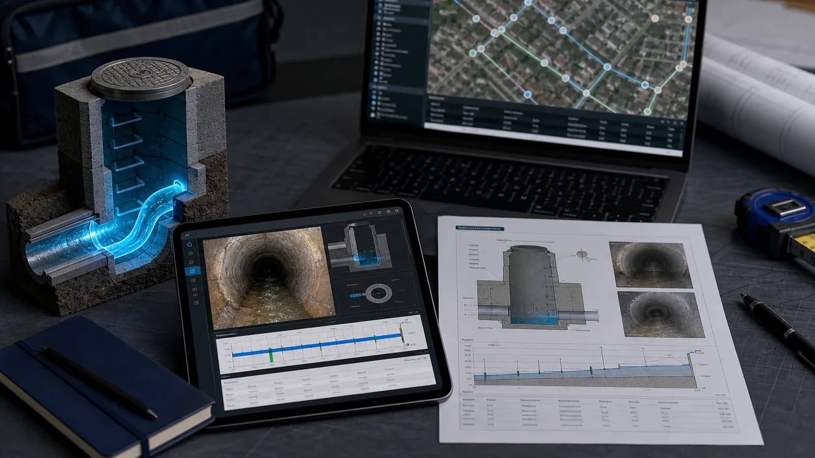
GIS teams want queryable points — click a manhole, see ID, levels, pipe summary, link to photos — not a flat image georeferenced roughly over a satellite basemap.
If your PO only mentions PDF and DWG, ask early whether KML/KMZ is required. Adding GIS spec late causes rework.
KML vs KMZ — when to use which
KML (Keyhole Markup Language) is XML — points, lines and polygons with attributes. Opens in QGIS, ArcGIS, Google Earth Pro and most web viewers. Human-readable; easy to diff in version control.
KMZ is a zipped KML package — often includes icons, embedded photos or simplified geometry for client distribution. Better when the recipient is a non-GIS stakeholder who wants Google Earth with pop-up photos.
| Format | Best for |
|---|---|
| KML | GIS import, attribute editing, council/water company systems |
| KMZ | Client review, presentations, offline Google Earth packs |
Some clients specify both. Generate from the same source record so attributes stay identical.
What attributes UK GIS teams expect
Minimum useful attribute set per MH/IC point:
- Asset ID — matches PDF sheet and client schedule
- Easting / northing (or lat/long) — in project CRS
- Cover level — mAOD or client-specified datum
- Chamber depth — where recorded
- Pipe count — inbound/outbound summary
- Inspection date — and surveyor or project ref
- Link or embed — photo URL, sheet PDF, or portal link
Optional but valued:
- Defect flags (silted, flooded, structural)
- Ownership / system (foul, surface, combined)
- Sketch thumbnail or diagram reference
Empty placemarkers with only a coordinate are barely better than a CSV of eastings/northings. Clients reject "GIS deliverable" that omits the attributes their schema requires.
Confirm the client's field names (e.g. ASSET_ID vs Manhole_No) before bulk export — renaming 400 features in ArcGIS is not their job.
Coordinates and CRS — where exports fail
Top rejection reasons on UK GIS handover:
- Wrong CRS — WGS84 lat/long sent when the project is OSGB36 / British National Grid
- Truncated precision — coordinates rounded to metres when client expects mm or cm
- Duplicate IDs — same asset ID on two points after re-survey merge errors
- Offset points — GPS capture at the van, not the cover centre
- Export before QA — draft field sync with missing cover level published to GIS
Fix at source: geo-photos and GPS on capture, validation before publish, export only from approved records.
If the client supplies a project grid or transformation, document it on the transmittal — GIS teams need to know what they are importing.
From approved inspection to GIS layer
Recommended workflow:
- Field capture — structured MH/IC with coordinates on the asset, not loose notes
- Office QA — 12-point checklist; fix or return to field
- Publish — record locked for client delivery
- Export KML/KMZ — attributes from inspection payload, geometry from approved coordinates
- Transmittal — CRS, datum, attribute dictionary, file list, revision note, plus survey report (from myPitLab or MySafeOps if issued separately)
- Portal option — client self-service download alongside PDF and DXF
When the client finds an error post-delivery, correct the inspection, republish, re-export. Do not edit KML by hand in Notepad unless you enjoy maintaining two truths.
💡 One record, every deliverable myPitLab — KML, KMZ, PDF, DXF and portal from one approved inspection. MySafeOps — survey report generator when your report pack is produced alongside GIS exports. myPitLab → · MySafeOps →
Frequently asked questions
Do all UK drainage clients want KML? No — but water companies and councils increasingly do. Ask at tender stage and match the spec in your all-in-one platform export list.
Can KML include chamber sketches? KMZ can embed images; KML can reference external files or portal links. Heavy geometry is usually DXF — KML is primarily point/attribute handover.
QGIS vs ArcGIS — does export differ? The KML/KMZ format is standard. Attribute naming and CRS metadata matter more than the desktop GIS brand.
Should GIS points include pipes as lines? Some clients want centreline polylines in separate layers — often a DXF deliverable. KML points with pipe summary attributes satisfy many water company registers; confirm spec.
What if coordinates were captured offline? Offline capture is fine if GPS metadata syncs with the asset. QA should flag missing or implausible coordinates before publish.
Summary
KML and KMZ export is how drainage survey data enters client GIS — when it is done from structured, QA-approved inspections with correct CRS and attributes. Treat GIS handover as a first-class deliverable alongside PDF and CAD, not a Friday-afternoon conversion.
Next steps: Add KML/KMZ to your next project deliverable checklist. Browse all insights, start a free myPitLab trial, or use MySafeOps for survey report packs that accompany GIS handover.