By the myPitLab team · Last updated 6 August 2026 · 6 min read
TL;DR
- An invert level is only meaningful with a clear vertical datum and a defined measurement method.
- Cover (or grate) level plus depth to invert is the common field path; do not invent mAOD values without control.
- Water and silt readings need their own reference — usually above chamber floor or relative to invert.
- Pipe inverts must stay consistent with the chamber model, cross-section and report table.
- QA should block publish when cover is missing but a calculated invert is shown as fact.
Key takeaways
- Always state the datum (mAOD, local site datum, or “relative only”)
- Record how cover was obtained (GNSS, level, assumed, client-supplied)
- Keep pipe invert, water and silt on explicit references
- One data model should drive sketch, 3D cutaway and report template
- Missing cover level is a flag, not a licence to guess
In this article
- Cover level vs invert level
- How UK crews usually calculate invert
- Water, silt and pipe schedules
- Common rejection causes
- Software checks that prevent bad levels
- Frequently asked questions
Introduction
Manhole invert levels cause more quiet client friction than almost any other MH field. The number looks precise. The method behind it is often unclear. Reviewers ask: is this mAOD? Relative to cover? Measured or assumed? Which pipe?
This spoke guide clarifies the language UK drainage and utility teams should use on site and in the office, and how drainage survey software should store levels so PDF, DXF and 3D models stay consistent.
Cover level vs invert level
Cover level is the elevation of the cover (or grate for gullies) in a stated datum.
Invert level is the elevation of the lowest internal surface of a pipe or channel at the chamber — again in a stated datum.
Without the datum, both numbers are just heights with false confidence.
Also distinguish:
- Chamber floor — useful for water/silt relative readings
- Pipe invert — per pipe, not one vague “invert” for the whole chamber when multiple pipes exist
- Soft invert / silted invert — observation vs hard invert; label which you mean
How UK crews usually calculate invert
A common field sequence:
- Establish or receive cover level (GNSS, optical level, client value, or temporary site datum)
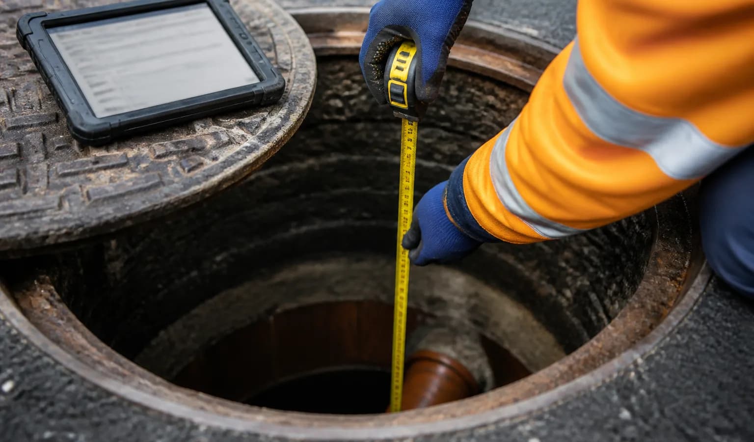
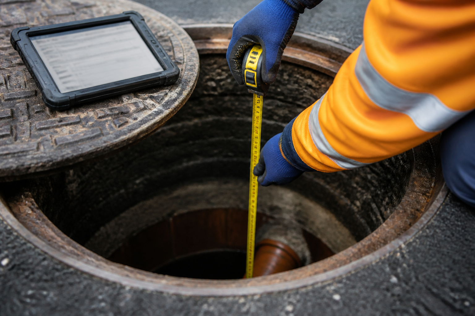
- Measure depth from cover to invert (or to chamber floor, then relate pipes)
- Compute invert = cover − depth when working in the same units and datum
That only works if:
- Cover and depth use the same vertical reference
- Depth is measured to the correct surface (pipe invert vs silt)
- The cover value’s provenance is recorded
If cover is phone GPS height with metre-level uncertainty, do not present the result as survey-grade mAOD. Phone coordinates can still help context maps; contractual levels may need GNSS or established control — same honesty as trial pit positioning.
Water, silt and pipe schedules
Water depth and silt depth should state the reference, for example metres above chamber floor. Feeding them into a cross-section without a reference creates contradictory diagrams.
Each pipe row in the schedule should carry:
- Direction (incoming/outgoing)
- Diameter and material
- Depth or invert with reference
- Clock position or bearing
Editing one pipe must update that pipe’s invert in the sketch and 3D view — see auto IC diagrams. Duplicate pipe rows after offline sync are a classic source of “two inverts for one pipe”.
Common rejection causes
Clients and checkers bounce packs when:
- Invert shown as mAOD with no cover or control statement
- Cover missing but invert displayed as authoritative
- Water/silt plotted against the wrong baseline
- Pipe invert disagrees with the drawn cross-section
- Gully grate level and MH cover level mixed without labels
Office QA before publish should catch these before the portal link goes out.
Software checks that prevent bad levels
Good MH software should:
- Require a datum or mark the level as relative-only
- Flag missing cover when invert is calculated
- Keep pipe identifiers stable across sync
- Drive report cross-section from the same numbers as the 3D cutaway
- Preserve revision history when levels change after client comments
That is how levels stop being a late-night spreadsheet argument.
Frequently asked questions
Is invert always lower than cover? For a typical gravity drainage chamber, yes — invert is below cover by the measured depth. Always verify units and that you did not measure to silt instead of hard invert.
Can I publish relative levels only? Yes, if the client accepts a local datum and you label it clearly. Do not silently upgrade relative heights to mAOD.
Do gullies use the same rules? Same discipline, different labels: grate level, pit depth, outlet invert. See the gully survey guide.
Where do levels appear in the client pack? In the inspection sheet, cross-section, optional 3D view, and often in GIS/CAD attributes. They must match.
Can I use phone elevation as manhole cover level? For rough location context, sometimes. For contractual design levels, use GNSS, total station or an established site control method unless the client accepts indicative values in writing.
Summary
Clear manhole invert levels are a product of cover (or grate), depth, datum and honest provenance — stored once and rendered everywhere. Get the references right in the field and in QA, and you remove a major cause of drainage deliverable rework.